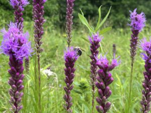
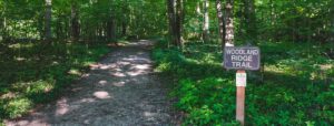
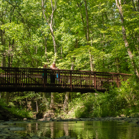
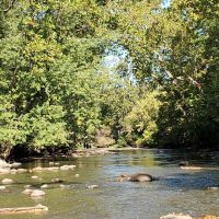
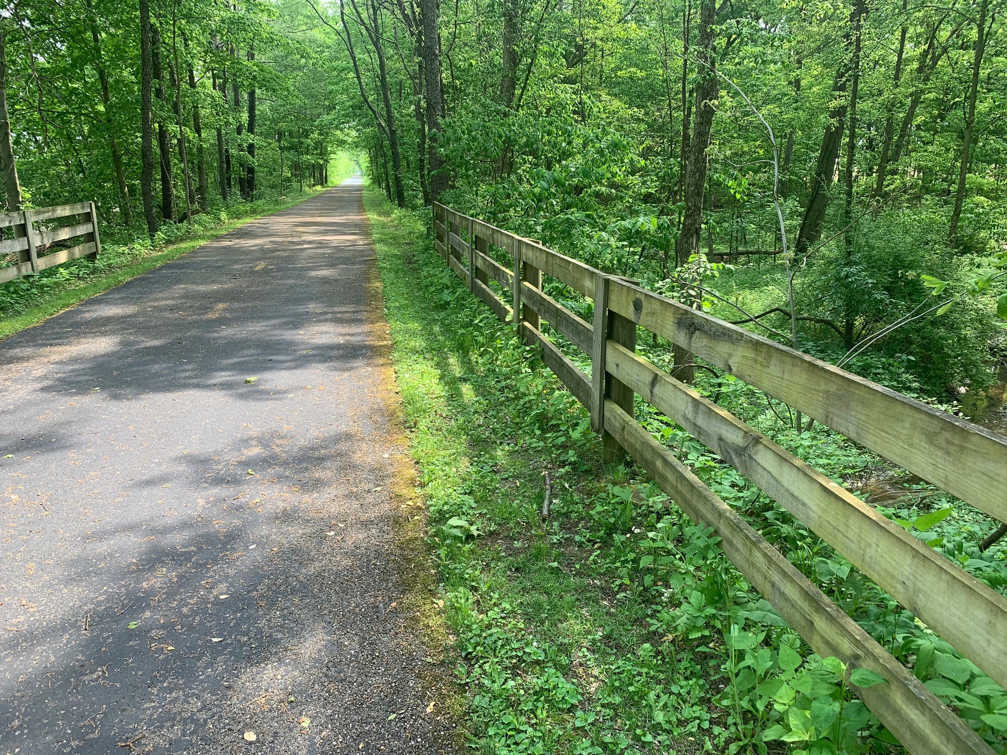
Please ensure Javascript is enabled for purposes of website accessibility

Ohio to Erie Trail

Ohio to Erie Trail

Amenities

Hours of Operation

Discover Your Park

Discover the Ohio to Erie Trail

The Ohio to Erie Trail is a primarily off-street recreational trail that, when completed, will span the state of Ohio from Cincinnati to Cleveland. For the most part, it follows land formerly occupied by railroads and canals. The trail connects four of Ohio’s metropolitan cities, a dozen large towns and numerous small villages with connected, easily accessible, paved trails.

The trails are used by bicyclists, hikers, skaters, families with strollers, bird watchers, and others wishing to enjoy them. As of 2020, the Ohio to Erie Trail consists of approximately 280 miles of paved trails separated from streets. Ultimately, the trail will be about 320 miles, once all segments are completed.

The Ohio to Erie Trail is owned and managed by numerous communities/agencies, all working together to form a connected trail system. Preservation Parks manages 6.5 miles of the Ohio to Erie Trail.

Trail Information

Hoover Scenic Trail

Parking: 8405 Plumb Road, Galena, OH 43021

Trail Length: 0.6 miles

Hours of Operation: Trail open at all times to allow for commuting

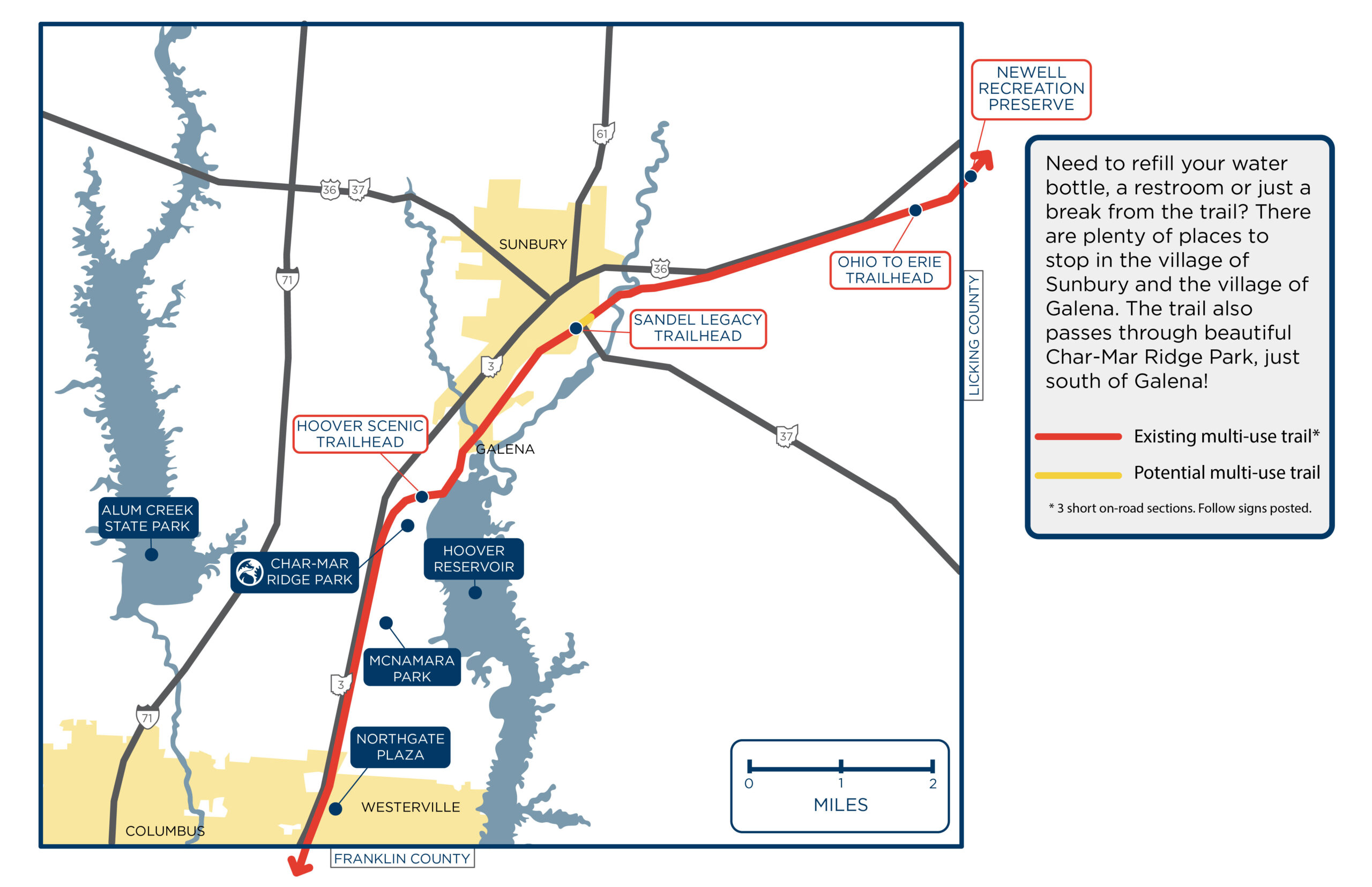
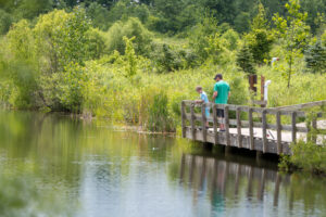
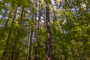
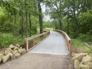
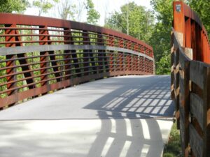
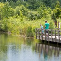
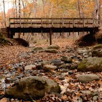
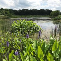
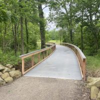
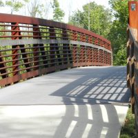
Trail Information: The Hoover Scenic Trail extends from Plumb Road to Weise Road, south of the village of Galena, crossing Old 3C Highway via a bicycle and pedestrian bridge. It runs along the shore of the Hoover Reservoir and through the Hoover Nature Preserve (owned by the City of Columbus.)

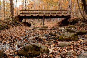
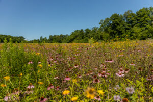
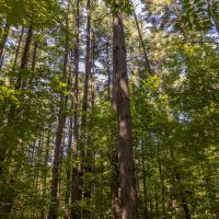
Wildlife: A number of native wildlife have been spotted along the trail, including white-tailed deer, eastern cottontail rabbit, eastern chipmunk, gray squirrel, woodchuck, American beaver, muskrat, coyote, red fox, raccoon and striped skunk.

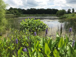
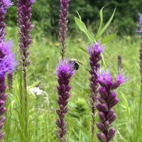
Many native and migratory bird species have also been spotted along the trail, including prothonotary warblers, bald eagle, osprey, cliff swallows, American avocet and marbled godwit.
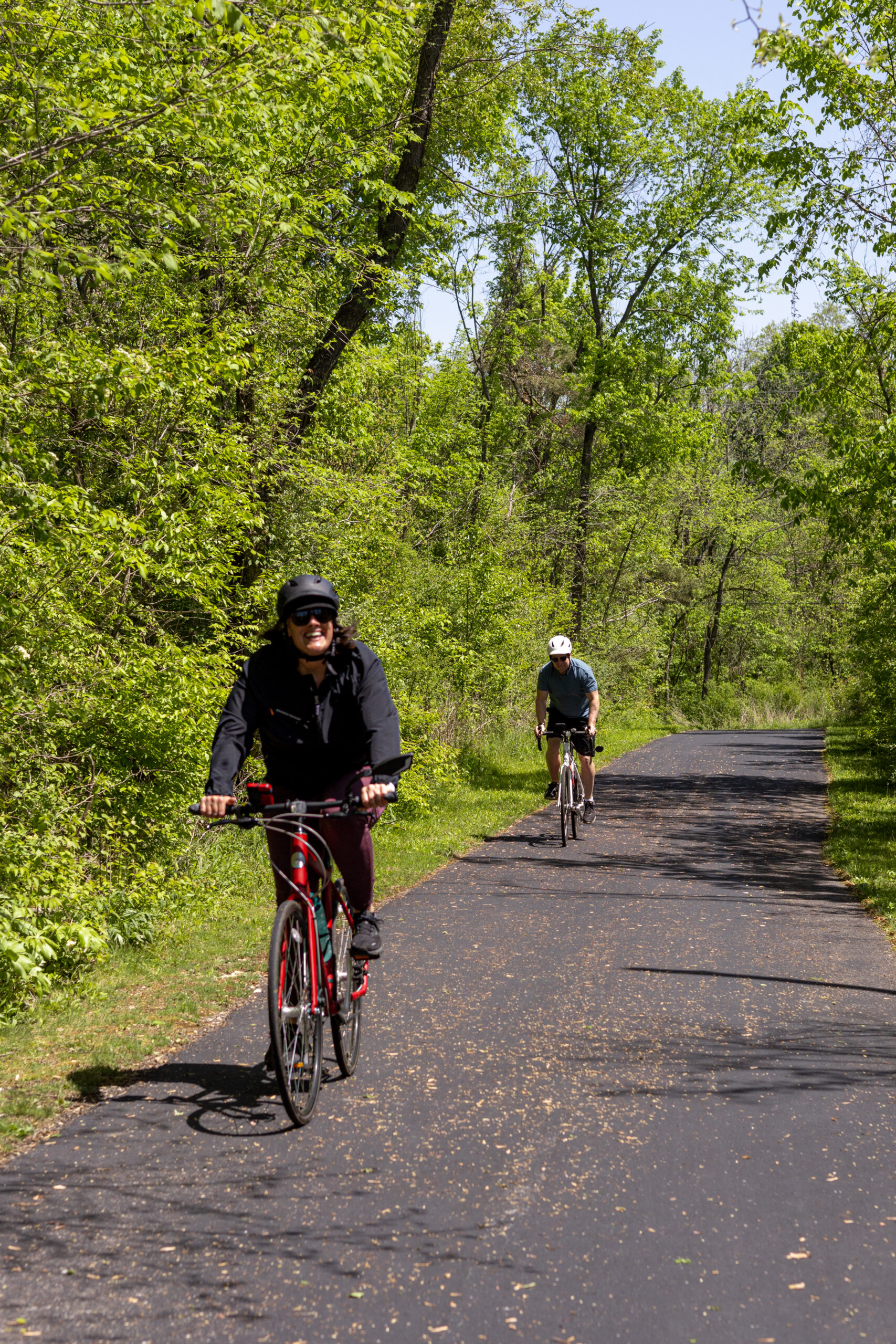
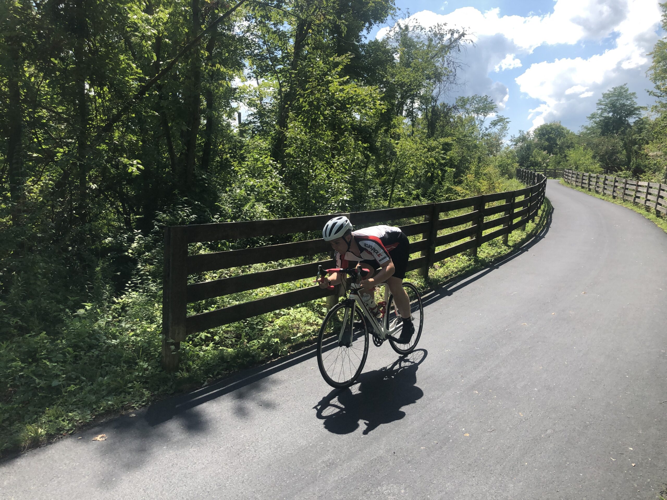
Sandel Legacy Trail

(now including section formerly known as the Meredith State Road Trail)

Location: 168 S. Vernon St., Sunbury to 5769 N County Line Road, Centerburg

Trail Length: 5.9 miles

Hours of Operation: Trail open at all times to allow for commuting

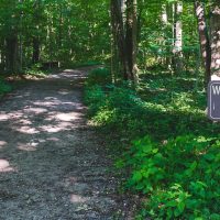
Trail Information: The Sandel Legacy Trail is a segment of the Ohio to Erie Trail that extends from Sunbury, northeast to the Delaware-Licking County line. There is some off-trail section through the City of Sunbury. The trail continues at Hartford Road.NEW* The trail continues near Walnut Street.

Parking along the trail is available at:
Preservation Parks trail house, 168 S. Vernon St., Sunbury

Street parking in the City of Sunbury

Newell Recreation Preserve, 5875 Township Hwy 51, Centerburg (Licking Park District https://lickingparkdistrict.com/ )

For more information on the Ohio to Erie Trail and trails around Central Ohio, visit https://www.ohiotoerietrail.org/ and https://www.morpc.org/central-ohio-greenways/

Ohio to Erie Trail Gallery

Share This Park:

Parks

Blues Creek Park

Prairies, a sparkling creek, forested areas and wetlands characterize Blues Creek, which is named for the creek that meanders along the park’s northern edge.

Char-Mar Ridge Park

A trail that winds up and down and along a ravine system characterizes this popular park located in Genoa Township.

Deer Haven Park

A bird lover’s paradise! Visit the injured birds of prey at the aviary, immerse yourself in a wildlife viewing blind, or stop by the Visitor Center.

Emily Traphagen Park

With its tall trees, wetlands, pond and meadows, beautiful Emily Traphagen Park provides a respite from the suburban development around it.

Gallant Farm

Time travel to a representation of a Depression-era farm that includes a farmhouse, livestock, gardens and crops.

Gallant Woods Park

Old growth woods, meadows, restored prairies and wetlands, and wetland woods characterize this popular park along with a sledding hill, reservable shelter and playground.

Hickory Woods Park

The former agricultural fields on this 115-acre site have been transformed into wetlands and prairies and reforested with oak and hickory trees.

Hogback Ridge Park

This beautiful wooded park includes trails that wind through a ravine system with hardwood and pine trees, and a bridge spanning a scenic ravine.

Ohio to Erie Trail

The Ohio to Erie Trail is a primarily off-street recreational trail that, when completed, will span the state of Ohio from Cincinnati to Cleveland. For the most part, it follows land formerly occupied by railroads and canals.

River Run Park

Put-in location for kayaks and canoes Beginning with headwaters as far north as Richland

Shale Hollow Park

Named for the curve in the tributary to the Olentangy State Scenic River that runs through the park, and for the shale evident in the cliff walls and stream bed.

Sycamore Run Park

Launch your kayak, go fishing and enjoy the beautiful views along the banks of the Olentangy River.

Trail Map

Parks

Prairies, a sparkling creek, forested areas and wetlands characterize Blues Creek, which...
A bird lover’s paradise! Visit the injured birds of prey at the...
With its tall trees, wetlands, pond and meadows, beautiful Emily Traphagen Park...
Time travel to a representation of a Depression-era farm that includes a...
Old growth woods, meadows, restored prairies and wetlands, and wetland woods characterize...
The former agricultural fields on this 115-acre site have been transformed into...
This beautiful wooded park includes trails that wind through a ravine system...
The Ohio to Erie Trail is a primarily off-street recreational trail that,...
Put-in location for kayaks and canoes Beginning with headwaters as far north...
Named for the curve in the tributary to the Olentangy State Scenic...
Launch your kayak, go fishing and enjoy the beautiful views along the...